Beautifully located overlooking the River Helmsdale.
Image credit: Robert Gladstone
Beautifully located overlooking the River Helmsdale.

Looking approx east across the outer defences....


To the west, looking approx south... note the remains of the broch, top right.

To the west, looking approx north.

As Lianachan notes the broch occupies the interior of an impressive defensive work, a proto-Norman keep, if you like (approx south-eastern arc).


Although the broch is a confused jumble of collapsed masonry small details are nevertheless apparent.

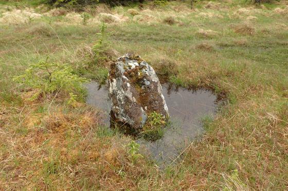
Another wonderfully sited broch, this one overlooking the mighty River Helmsdale meandering its way to the sea. What is (arguably) not apparent from the road is the impressive nature of the hillfort the collapsed tower sits within... or the bog waiting to suck in the legs of unwary visitors.


Interior and walls now just rubble.

The impressive defensive ditch to the south.

Suisgill broch seen from the A897.
Easily seen from the A897, south of Kinbrace, as one of the images I posted shows. Very good defensive ditches, especially to the south where they are still around 8 feet deep. Sadly, the interior is full of the tumbled stones of the walls.